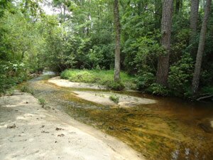
 Situated in the inner Coastal Plain, the Sage Valley easements are within the northern edge of the Fall-line Sandhills. This geologic formation is quite limited and supports very unique habitats. The cumulative easements now protect three thousand nine hundred sixty-three (3963) acres. Continuity, such as afforded this large land area, is an important ecological concept for sustainable habitat for plant and animal species. Habitat value is enhanced exponentially when connectivity occurs because habitat potential and diversity is increased. Large land area means that the species within can maintain better genetic diversity and have larger foraging/nesting habitats. The easement area supports rare species and important natural communities.
The easement area is within an area identified by the State of South Carolina in 1995 as a high priority for conservation, to be among the highest ranked sites for large area projects by physiographic province (see references and maps in appendices). As a result of the studies, the state recognized the ecological importance of these lands and state agencies had recommended purchase by the state in order protect the habitats. It is likely that the state didn’t have the funds to do so. Now, through private easement, the protection of these important natural areas is being realized.
 In 2011, two more ‘puzzle pieces’ were added to the conservation matrix at Whisper Mountain. Sitting high in the mountains on the Buncombe-Madison county line, it is an ecologically oriented development. SERLC and the Southern Appalachian Highlands Conservancy have been teaming together to conserve acreage in the location. It is between the regionally significant Big Sandy Mush Valley and Pisgah National Forest. The Sandy Mush area has been the focus of conservation efforts supported by government funding for the last several years. This corridor will become increasingly important for wildlife migration and enhances ecological value of all the protected lands.
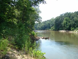 In the Georgia piedmont, three large tracts in proximity to each other were added, creating a total of 2611 protected acres. The easements include a variety of habitats such as Bottomland hardwood forests, pine plantations, Mixed mesic hardwood forests, Oak-hickory forests, cane breaks, Levee and Alluvial forests, open fields, wetlands, a large river, and creeks. One tract protects viewshed for Lake Russell. Another protects 8,000 ft. of frontage on the Broad River.
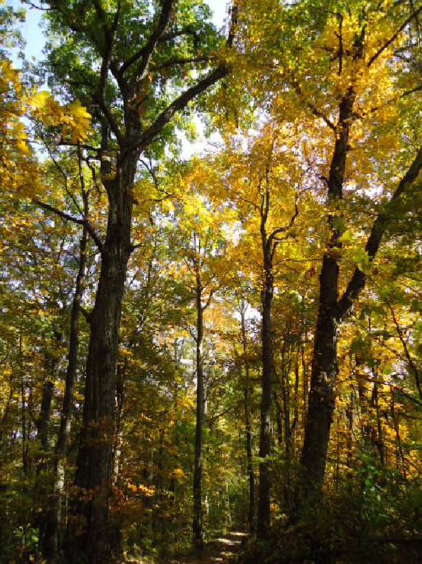 This past year the Southeast Regional Land Conservancy (
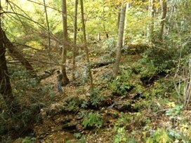
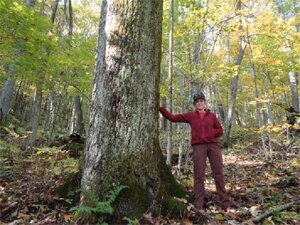 The 107-acre tract covers undulating mountainous coves and ridges. It became part of the extensive protected easement lands that now total one thousand two hundred twenty-one (1,221) acres…not a small amount for mountain land close to Asheville. Large, continuous blocks of land are crucial to population health of plant and animal species alike. Numerous rare plant species on the North Carolina Watchlist are present on the site. Many indicator species associated with the unusual circumneutral geologic conditions also thrive in the easement. These habitats are now protected for all future generations to come.